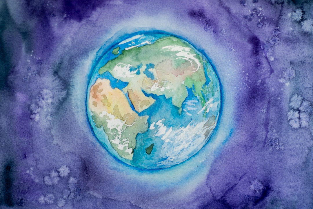
Navigating the Earth has been a fundamental human endeavor for millennia. From early explorers using the stars to find their way across vast oceans to modern GPS technology guiding us through city streets, navigation has played a pivotal role in human history. At the heart of this science is the understanding of Earth’s geography and its various tools and techniques. In this article, we will explore the simple navigational geography of Earth, providing insights into the basics of maps, coordinates, and key reference points for orientation.
The Foundation: Maps
Maps are the primary tools for understanding Earth’s geography and aiding in navigation. They are two-dimensional representations of our three-dimensional world, allowing us to visualize and plan journeys. Maps come in various types, including political, topographical, and nautical, each serving specific purposes.
Political Maps
Political maps highlight national and regional borders, making them essential for understanding political divisions. They provide an overview of countries, states, provinces, and cities. Political maps are often used for planning trips and understanding geopolitical boundaries.
Topographical Maps
Topographical maps emphasize the physical features of Earth’s surface, such as mountains, rivers, and valleys. These maps use contour lines to represent elevation, helping hikers, geologists, and surveyors navigate challenging terrains.
Nautical Charts
Nautical charts are specialized maps designed for maritime navigation. They include crucial information for sailors, such as water depths, coastlines, and the locations of navigational hazards. Nautical charts also incorporate navigation aids like buoys and lighthouses.
Understanding Coordinates
To pinpoint locations accurately on Earth, we use a system of coordinates. The most common coordinate system consists of latitude and longitude lines, which intersect to create a grid covering the entire globe.
Latitude Lines
Latitude lines, also known as parallels, run horizontally around the Earth. The equator is the reference point at 0 degrees latitude, dividing the planet into the Northern and Southern Hemispheres. Lines of latitude are measured in degrees, with values ranging from 0° at the equator to 90° at the North and South Poles. For example, New York City is located at approximately 40.7128° N latitude.
Longitude Lines
Longitude lines, or meridians, run vertically from the North Pole to the South Pole. The Prime Meridian, located at 0 degrees longitude in Greenwich, England, serves as the starting point for measuring east and west longitudes. Longitudes are also measured in degrees, with values ranging from 0° to 180° east and 0° to 180° west. For example, Los Angeles is at approximately 118.2437° W longitude.
Coordinates and Navigation
Coordinates are crucial for navigation. By specifying a set of latitude and longitude coordinates, you can pinpoint any location on Earth’s surface. GPS (Global Positioning System) devices rely on a network of satellites to determine your precise coordinates, making modern navigation incredibly accurate and accessible.
Key Reference Points
In addition to coordinates, navigators use various reference points and tools to aid in orientation and travel.
Cardinal Directions
The four cardinal directions—north, south, east, and west—serve as fundamental reference points. Compasses and maps typically feature these directions, helping travelers maintain their bearings.
Celestial Navigation
Before the advent of advanced technology, mariners relied on celestial navigation, using the positions of celestial bodies such as the sun, moon, stars, and planets to determine their location and direction. This ancient practice is still taught to navigators today as a valuable backup method.
Landmarks and Waypoints
Landmarks and waypoints are prominent features used for orientation. These could be natural features like mountains, lakes, or distinctive trees, or artificial markers like lighthouses, buildings, or monuments.
GPS and Digital Mapping
In the modern age, GPS technology and digital mapping applications have revolutionized navigation. GPS devices and smartphone apps provide real-time location information and turn-by-turn directions, making it easier than ever to navigate unfamiliar terrain.
Conclusion
Navigational geography is the foundation upon which all forms of human travel and exploration are built. From ancient mariners using the stars to modern travelers relying on GPS, understanding Earth’s geography, coordinates, and reference points is essential for reaching our destinations safely and efficiently. Whether you’re embarking on a cross-country road trip or sailing the high seas, a grasp of navigational geography ensures you’ll find your way and experience the joy of discovery that comes with each journey.


